
Wihéries topographic map
Interactive map
Click on the map to display elevation.
About this map
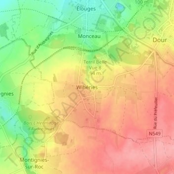
Name: Wihéries topographic map, elevation, terrain.
Location: Wihéries, Dour, Mons, Hainaut, Wallonie, 7370, Belgique (50.36554 3.73110 50.40554 3.77110)
Average elevation: 289 ft
Minimum elevation: 115 ft
Maximum elevation: 436 ft