Geolocate

Navolato topographic map

Click on the map to display elevation.

About this map

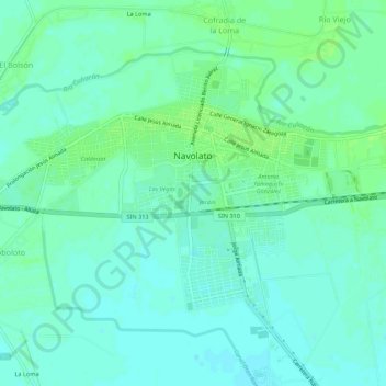
Name: Navolato topographic map, elevation, terrain.

Location: Navolato, Sinaloa, Mexico (24.74153 -107.72754 24.77556 -107.67318)

Average elevation: 43 ft

Minimum elevation: 26 ft

Maximum elevation: 59 ft

Gear up for your next adventure:

🎁Geography Themed Gifts - Unique gift ideas for map lovers and geography enthusiasts
🚁Photography Drones - Capture stunning aerial views of landforms and topography
🧤Hiking Gloves - Protective gloves for rugged trails
📻Weather Alert Radios - Stay informed of storm risks while off-the-grid
Backpacking Tents - Weight-optimized shelters for multi-day topographic surveys

As an Amazon Associate, this site earns from qualifying purchases at no extra cost to you.