
Chavinda topographic map
Interactive map
Click on the map to display elevation.
About this map
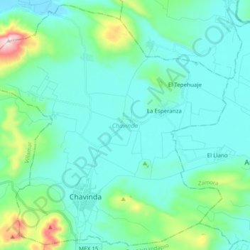
Name: Chavinda topographic map, elevation, terrain.
Location: Chavinda, Michoacán de Ocampo, México (19.97857 -102.52398 20.11605 -102.37226)
Average elevation: 5,404 ft
Minimum elevation: 4,993 ft
Maximum elevation: 7,566 ft