
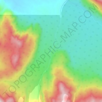
Río Cipreses topographic map
Interactive map
Click on the map to display elevation.
About this map
Name: Río Cipreses topographic map, elevation, terrain.
Average elevation: 1,565 ft
Minimum elevation: 305 ft
Maximum elevation: 4,049 ft
Other topographic maps
Click on a map to view its topography, its elevation and its terrain.
Villa Vanguardia
Chile > Región de Los Lagos > Provincia de Palena > Chaitén > Villa Vanguardia
Villa Vanguardia, Chaitén, Provincia de Palena, Región de Los Lagos, Chile
Average elevation: 748 ft