
县南村 topographic map
Interactive map
Click on the map to display elevation.
About this map
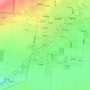
Name: 县南村 topographic map, elevation, terrain.
Location: 县南村, 芮城县, 运城市, 山西省, 中国 (34.66491 110.66196 34.70491 110.70196)
Average elevation: 1,654 ft
Minimum elevation: 1,522 ft
Maximum elevation: 1,827 ft