
อ่างข่าง topographic map
Interactive map
Click on the map to display elevation.
About this map
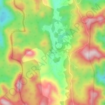
Name: อ่างข่าง topographic map, elevation, terrain.
Location: อ่างข่าง, Provinz Chiang Mai, Thailand (19.88084 99.01884 19.92084 99.05884)
Average elevation: 5,030 ft
Minimum elevation: 4,239 ft
Maximum elevation: 5,794 ft