
Río Huarmey topographic map
Interactive map
Click on the map to display elevation.
About this map
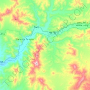
Name: Río Huarmey topographic map, elevation, terrain.
Location: Río Huarmey, Huarmey, Provincia de Huarmey, Áncash, Perú (-10.07054 -78.12333 -10.01404 -77.97673)
Average elevation: 1,083 ft
Minimum elevation: 75 ft
Maximum elevation: 2,927 ft
Other topographic maps
Click on a map to view its topography, its elevation and its terrain.
Playa Tuquillo
Playa Tuquillo, Ruta a Playa Tuquillo, Huarmey, Provincia de Huarmey, Áncash, Perú
Average elevation: 39 ft