
Kokkad Mahasiva temple pond topographic map
Interactive map
Click on the map to display elevation.
About this map
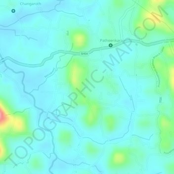
Name: Kokkad Mahasiva temple pond topographic map, elevation, terrain.
Average elevation: 85 ft
Minimum elevation: 16 ft
Maximum elevation: 358 ft