
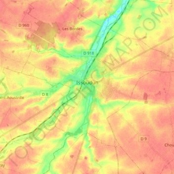
Issoudun topographic map
Interactive map
Click on the map to display elevation.
About this map
Name: Issoudun topographic map, elevation, terrain.
Average elevation: 489 ft
Minimum elevation: 381 ft
Maximum elevation: 545 ft
La superficie de la commune est de 36,6 km2 et son altitude varie de 122 à 161 mètres.