Geolocate

Rothwell topographic map

Click on the map to display elevation.

About this map

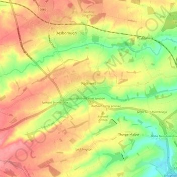
Name: Rothwell topographic map, elevation, terrain.

Location: Rothwell, North Northamptonshire, England, United Kingdom (52.40352 -0.84283 52.43758 -0.73461)

Average elevation: 384 ft

Minimum elevation: 217 ft

Maximum elevation: 522 ft

Other topographic maps

Click on a map to view its topography, its elevation and its terrain.

Mawsley

United Kingdom > England > North Northamptonshire

Average elevation: 423 ft

Laxton

United Kingdom > England > North Northamptonshire

Average elevation: 282 ft

Gear up for your next adventure:

🪶Camping Sleeping Pad - Comfortable sleeping pad for backpacking
🦺Reflective Outdoor Gear - Safety gear for low‑light conditions
🪑Portable Camp Table - Compact table for campsite meals
📶Vehicle Signal Boosters - Improve reception in rural areas while driving to trailheads
🏫Relief Map Kits - Hands-on tools for teaching landforms and elevation

As an Amazon Associate, this site earns from qualifying purchases at no extra cost to you.