
Nesthorn topographic map
Interactive map
Click on the map to display elevation.
About this map
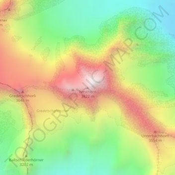
Name: Nesthorn topographic map, elevation, terrain.
Location: Nesthorn, Naters, Brig, Valais/Wallis, Switzerland (46.41240 7.92422 46.41250 7.92432)
Average elevation: 10,292 ft
Minimum elevation: 8,471 ft
Maximum elevation: 12,520 ft