
Aldurfe topographic map
Interactive map
Click on the map to display elevation.
About this map
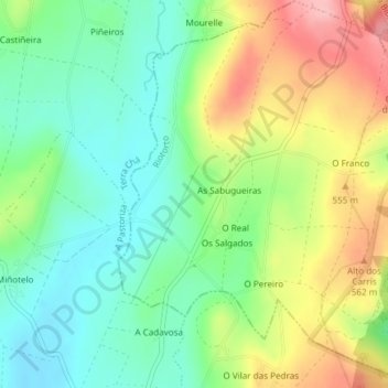
Name: Aldurfe topographic map, elevation, terrain.
Location: Aldurfe, Riotorto, Meira, Lugo, Galicia, España (43.29042 -7.30857 43.31770 -7.27707)
Average elevation: 1,650 ft
Minimum elevation: 1,467 ft
Maximum elevation: 1,939 ft