
Geldern topographic map
Interactive map
Click on the map to display elevation.
About this map
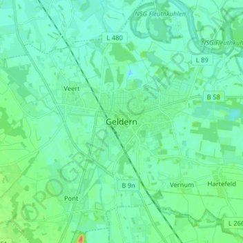
Name: Geldern topographic map, elevation, terrain.
Location: Geldern, Kleef, Noordrijn-Westfalen, 47608, Duitsland (51.47697 6.28282 51.55697 6.36282)
Average elevation: 89 ft
Minimum elevation: 62 ft
Maximum elevation: 177 ft