
Perumparai topographic map
Interactive map
Click on the map to display elevation.
About this map
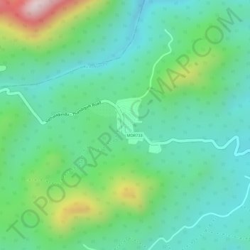
Name: Perumparai topographic map, elevation, terrain.
Location: Perumparai, Athoor, Dindigul District, Tamil Nadu, India (10.29219 77.72793 10.29826 77.73303)
Average elevation: 3,389 ft
Minimum elevation: 2,982 ft
Maximum elevation: 4,341 ft