
Çakıllı topographic map
Interactive map
Click on the map to display elevation.
About this map
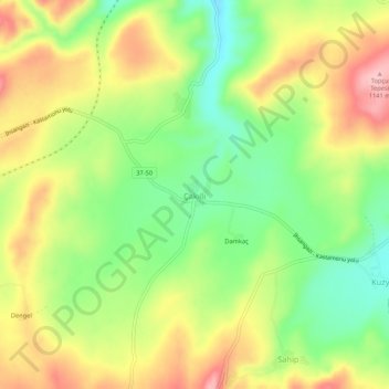
Name: Çakıllı topographic map, elevation, terrain.
Location: Çakıllı, Kastamonu Merkez, Kastamonu, Black Sea Region, Turkey (41.22136 33.67630 41.26136 33.71630)
Average elevation: 3,455 ft
Minimum elevation: 3,196 ft
Maximum elevation: 3,747 ft