
Houdeng-Gœgnies topographic map
Interactive map
Click on the map to display elevation.
About this map
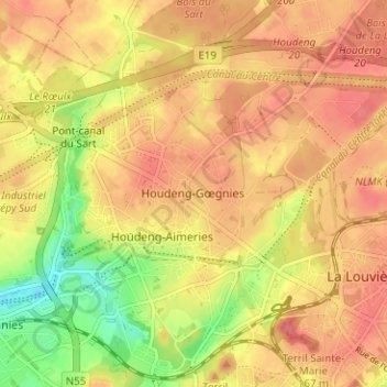
Name: Houdeng-Gœgnies topographic map, elevation, terrain.
Location: Houdeng-Gœgnies, La Louvière, Hainaut, Wallonia, 7110, Belgium (50.46799 4.13753 50.50799 4.17753)
Average elevation: 377 ft
Minimum elevation: 230 ft
Maximum elevation: 463 ft