
Nong Chang topographic map
Interactive map
Click on the map to display elevation.
About this map
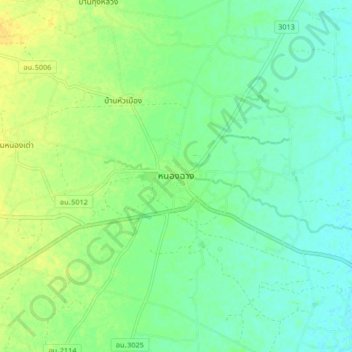
Name: Nong Chang topographic map, elevation, terrain.
Location: Nong Chang, Uthai Thani Province, 61110, Thailand (15.35063 99.80064 15.43063 99.88064)
Average elevation: 164 ft
Minimum elevation: 131 ft
Maximum elevation: 207 ft