
Holmesville topographic map
Interactive map
Click on the map to display elevation.
About this map
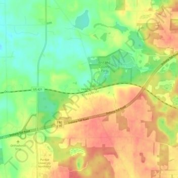
Name: Holmesville topographic map, elevation, terrain.
Location: Holmesville, LaPorte County, Indiana, 46391, USA (41.57976 -86.90114 41.61976 -86.86114)
Average elevation: 787 ft
Minimum elevation: 682 ft
Maximum elevation: 879 ft