
North Bradley topographic map
Interactive map
Click on the map to display elevation.
About this map
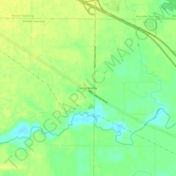
Name: North Bradley topographic map, elevation, terrain.
Location: North Bradley, Midland County, Michigan, USA (43.69146 -84.50928 43.73146 -84.46928)
Average elevation: 666 ft
Minimum elevation: 627 ft
Maximum elevation: 696 ft