
Katwe-Kikorongo Volcanic Field topographic map
Interactive map
Click on the map to display elevation.
About this map
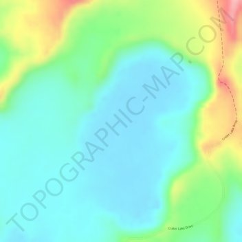
Name: Katwe-Kikorongo Volcanic Field topographic map, elevation, terrain.
Average elevation: 3,507 ft
Minimum elevation: 3,366 ft
Maximum elevation: 3,842 ft