
Pic d'Aspe topographic map
Interactive map
Click on the map to display elevation.
About this map
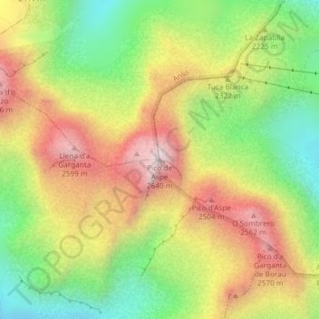
Name: Pic d'Aspe topographic map, elevation, terrain.
Location: Pic d'Aspe, Aísa, Jacétanie, Huesca, Aragon, 22889, Espagne (42.76343 -0.56580 42.76353 -0.56570)
Average elevation: 7,156 ft
Minimum elevation: 5,814 ft
Maximum elevation: 8,615 ft