
Pleikartsförster Hof topographic map
Interactive map
Click on the map to display elevation.
About this map
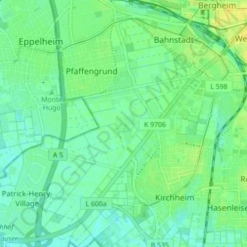
Name: Pleikartsförster Hof topographic map, elevation, terrain.
Average elevation: 361 ft
Minimum elevation: 335 ft
Maximum elevation: 400 ft
Other topographic maps
Click on a map to view its topography, its elevation and its terrain.
Heidelberg
Duitsland > Baden-Württemberg > Heidelberg
Heidelberg, Baden-Württemberg, 69120, Duitsland
Average elevation: 656 ft