
Hekendorp topographic map
Interactive map
Click on the map to display elevation.
About this map
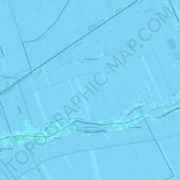
Name: Hekendorp topographic map, elevation, terrain.
Location: Hekendorp, Oudewater, Utrecht, Niederlande (52.01391 4.79870 52.03308 4.85844)
Average elevation: -3 ft
Minimum elevation: -13 ft
Maximum elevation: 10 ft
Other topographic maps
Click on a map to view its topography, its elevation and its terrain.