
Río Curaray topographic map
Interactive map
Click on the map to display elevation.
About this map
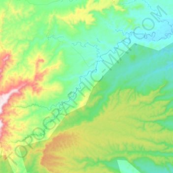
Name: Río Curaray topographic map, elevation, terrain.
Location: Río Curaray, Arajuno, Pastaza, Ecuador (-1.41700 -77.70668 -1.27378 -77.49215)
Average elevation: 1,821 ft
Minimum elevation: 1,050 ft
Maximum elevation: 3,658 ft