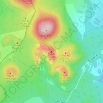
Puy de Lassolas topographic map
Interactive map
Click on the map to display elevation.
About this map
Name: Puy de Lassolas topographic map, elevation, terrain.
Average elevation: 3,386 ft
Minimum elevation: 3,009 ft
Maximum elevation: 4,029 ft

Click on the map to display elevation.
Name: Puy de Lassolas topographic map, elevation, terrain.
Average elevation: 3,386 ft
Minimum elevation: 3,009 ft
Maximum elevation: 4,029 ft