
West Belt topographic map
Interactive map
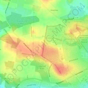
Click on the map to display elevation.
About this map
Name: West Belt topographic map, elevation, terrain.
Average elevation: 236 ft
Minimum elevation: 138 ft
Maximum elevation: 325 ft
Other topographic maps
Click on a map to view its topography, its elevation and its terrain.
Peterculter
United Kingdom > Scotland > Aberdeen City > Peterculter
Peterculter, Aberdeen City, Scotland, AB14 0SL, United Kingdom
Average elevation: 210 ft