
Felenne topographic map
Interactive map
Click on the map to display elevation.
About this map
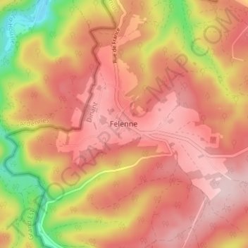
Name: Felenne topographic map, elevation, terrain.
Location: Felenne, Dinant, Namur, Wallonie, 5570, Belgique (50.04807 4.82902 50.08807 4.86902)
Average elevation: 955 ft
Minimum elevation: 463 ft
Maximum elevation: 1,224 ft