
Oregon Badlands Wilderness topographic map
Interactive map
Click on the map to display elevation.
About this map
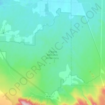
Name: Oregon Badlands Wilderness topographic map, elevation, terrain.
Average elevation: 3,599 ft
Minimum elevation: 3,330 ft
Maximum elevation: 4,816 ft
Other topographic maps
Click on a map to view its topography, its elevation and its terrain.