
Demul topographic map
Interactive map
Click on the map to display elevation.
About this map
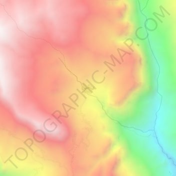
Name: Demul topographic map, elevation, terrain.
Average elevation: 14,291 ft
Minimum elevation: 11,755 ft
Maximum elevation: 15,938 ft
Other topographic maps
Click on a map to view its topography, its elevation and its terrain.
Kaza
India > Himachal Pradesh > Spiti
Kaza, Spiti, Lahaul and Spiti District, Himachal Pradesh, India
Average elevation: 13,652 ft