
Did topographic map
Interactive map
Click on the map to display elevation.
About this map
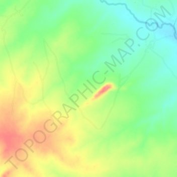
Name: Did topographic map, elevation, terrain.
Location: Did, Bogoro, Bauchi, Nigeria (9.54667 9.64667 9.58667 9.68667)
Average elevation: 2,175 ft
Minimum elevation: 2,064 ft
Maximum elevation: 2,306 ft