
Moorland topographic map
Click on the map to display elevation.
About this map
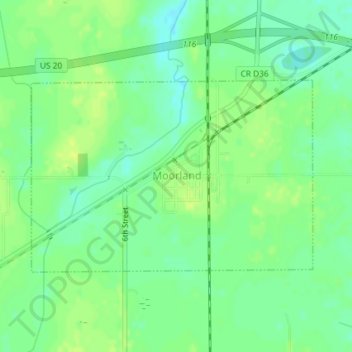
Name: Moorland topographic map, elevation, terrain.
Location: Moorland, Webster County, Iowa, United States (42.43421 -94.31011 42.44893 -94.28084)
Average elevation: 1,138 ft
Minimum elevation: 1,109 ft
Maximum elevation: 1,161 ft
Webster County trails, hiking, mountain biking, running and outdoor activities