
集中屯 topographic map
Interactive map
Click on the map to display elevation.
About this map
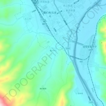
Name: 集中屯 topographic map, elevation, terrain.
Location: 集中屯, 图们市, 集中村, 图们市, 延边朝鲜族自治州, 吉林省, 中国 (42.93068 129.81818 42.97068 129.85818)
Average elevation: 479 ft
Minimum elevation: 285 ft
Maximum elevation: 1,388 ft