
College Lake topographic map
Interactive map
Click on the map to display elevation.
About this map
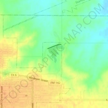
Name: College Lake topographic map, elevation, terrain.
Location: College Lake, Stamford, Jones County, Texas, United States (32.94633 -99.78054 32.95082 -99.77596)
Average elevation: 1,568 ft
Minimum elevation: 1,512 ft
Maximum elevation: 1,614 ft