
Corinth topographic map
Interactive map
Click on the map to display elevation.
About this map
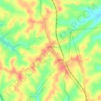
Name: Corinth topographic map, elevation, terrain.
Location: Corinth, Grant County, Kentucky, United States (38.49036 -84.57658 38.50120 -84.55636)
Average elevation: 912 ft
Minimum elevation: 801 ft
Maximum elevation: 1,001 ft
Other topographic maps
Click on a map to view its topography, its elevation and its terrain.
Williamstown
United States > Kentucky > Grant County
Williamstown, Grant County, Kentucky, 41097, United States
Average elevation: 860 ft