Armonk topographic map
Click on the map to display elevation.
Armonk
Situated 11 miles from the coast in the southeastern corner of New York, Armonk shares a border with Connecticut. The landscape is hilly and forested, with a mean elevation of 387 feet, and is home to the highest point in Westchester County with an elevation of 1,396 feet.
About this map
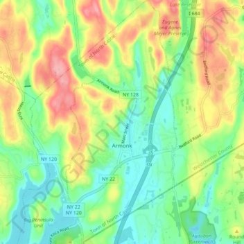
Name: Armonk topographic map, elevation, terrain.
Average elevation: 512 ft
Minimum elevation: 351 ft
Maximum elevation: 748 ft
Westchester County trails, hiking, mountain biking, running and outdoor activities
Other topographic maps
Click on a map to view its topography, its elevation and its terrain.