
Озяты topographic map
Interactive map
Click on the map to display elevation.
About this map
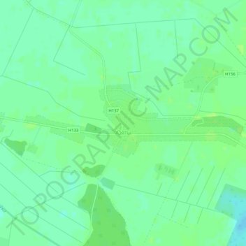
Name: Озяты topographic map, elevation, terrain.
Average elevation: 459 ft
Minimum elevation: 440 ft
Maximum elevation: 472 ft
Other topographic maps
Click on a map to view its topography, its elevation and its terrain.
Лиски
Беларусь > Брестская область > Жабинковский район > Озятский сельский Совет
Лиски, Озятский сельский Совет, Жабинковский район, Брестская область, Беларусь
Average elevation: 466 ft