
Krems topographic map
Interactive map
Click on the map to display elevation.
About this map
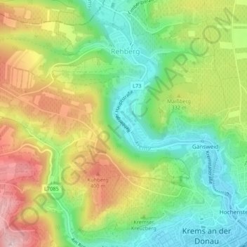
Name: Krems topographic map, elevation, terrain.
Average elevation: 984 ft
Minimum elevation: 650 ft
Maximum elevation: 1,434 ft
Other topographic maps
Click on a map to view its topography, its elevation and its terrain.
Krems an der Donau
Österreich > Niederösterreich > Krems an der Donau
Krems an der Donau, Niederösterreich, Österreich
Average elevation: 1,017 ft