
Village d'En Haut topographic map
Interactive map
Click on the map to display elevation.
About this map
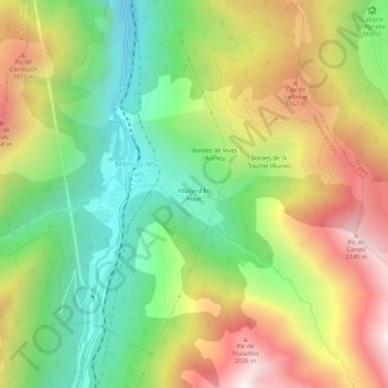
Name: Village d'En Haut topographic map, elevation, terrain.
Average elevation: 4,931 ft
Minimum elevation: 3,202 ft
Maximum elevation: 7,159 ft
Other topographic maps
Click on a map to view its topography, its elevation and its terrain.
Jouliane
France > Occitania > Ariège > Mérens-les-Vals
Jouliane, Mérens-les-Vals, Foix, Ariège, Occitania, Metropolitan France, 09110, France
Average elevation: 4,905 ft