
Triet topographic map
Interactive map
Click on the map to display elevation.
About this map
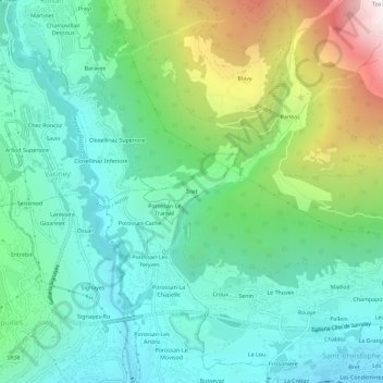
Name: Triet topographic map, elevation, terrain.
Location: Triet, Aosta, Aostatal, 11100, Italien (45.74457 7.31221 45.78457 7.35221)
Average elevation: 3,304 ft
Minimum elevation: 1,844 ft
Maximum elevation: 7,159 ft