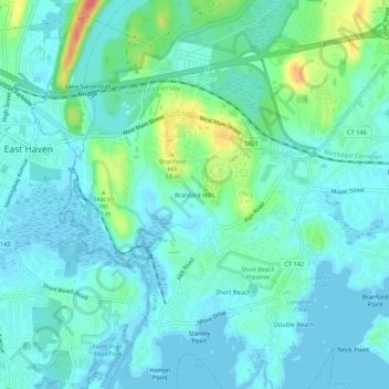
Branford Hills topographic map
Interactive map
Click on the map to display elevation.
About this map
Name: Branford Hills topographic map, elevation, terrain.
Average elevation: 39 ft
Minimum elevation: -16 ft
Maximum elevation: 187 ft

Click on the map to display elevation.
Name: Branford Hills topographic map, elevation, terrain.
Average elevation: 39 ft
Minimum elevation: -16 ft
Maximum elevation: 187 ft