
San Luis de Cubarral topographic map
Interactive map
Click on the map to display elevation.
About this map
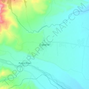
Name: San Luis de Cubarral topographic map, elevation, terrain.
Location: San Luis de Cubarral, Meta, Colombia (3.75427 -73.87895 3.83427 -73.79895)
Average elevation: 1,995 ft
Minimum elevation: 1,640 ft
Maximum elevation: 3,625 ft