
燕洞乡 topographic map
Interactive map
Click on the map to display elevation.
About this map
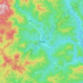
Name: 燕洞乡 topographic map, elevation, terrain.
Location: 燕洞乡, 河池市, 巴马瑶族自治县, 广西壮族自治区, 中国 (23.99017 107.11958 24.07017 107.19958)
Average elevation: 1,562 ft
Minimum elevation: 883 ft
Maximum elevation: 3,028 ft