
Carpantas topographic map
Interactive map
Click on the map to display elevation.
About this map
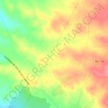
Name: Carpantas topographic map, elevation, terrain.
Location: Carpantas, Don Álvaro, Badajoz, Estrémadure, Espagne (38.85377 -6.29196 38.87377 -6.27196)
Average elevation: 909 ft
Minimum elevation: 748 ft
Maximum elevation: 1,030 ft