
Stanley topographic map
Interactive map
Click on the map to display elevation.
About this map
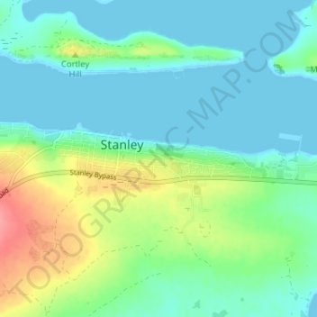
Name: Stanley topographic map, elevation, terrain.
Location: Stanley, Falkland Islands (-51.70078 -57.89276 -51.68884 -57.82853)
Average elevation: 69 ft
Minimum elevation: 0 ft
Maximum elevation: 259 ft