
Al Amerat topographic map
Interactive map
Click on the map to display elevation.
About this map
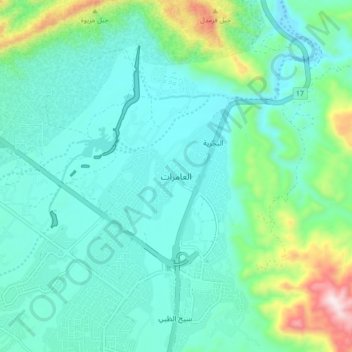
Name: Al Amerat topographic map, elevation, terrain.
Location: Al Amerat, Muscat, 130, Oman (23.48234 58.46024 23.56234 58.54024)
Average elevation: 584 ft
Minimum elevation: 121 ft
Maximum elevation: 2,454 ft