
Soto de los Tetones topographic map
Interactive map
Click on the map to display elevation.
About this map
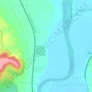
Name: Soto de los Tetones topographic map, elevation, terrain.
Location: Soto de los Tetones, Tudela, Navarra, 31500, España (42.09333 -1.61119 42.11333 -1.59119)
Average elevation: 892 ft
Minimum elevation: 827 ft
Maximum elevation: 1,191 ft
Other topographic maps
Click on a map to view its topography, its elevation and its terrain.
Soto de la Remonta
Soto de la Remonta, Tudela, Navarra, España
Average elevation: 863 ft