
Ikumba topographic map
Interactive map
Click on the map to display elevation.
About this map
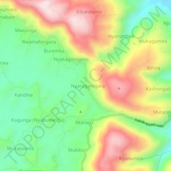
Name: Ikumba topographic map, elevation, terrain.
Location: Ikumba, Kabale, Western Region, Uganda (-1.13611 29.84944 -1.09611 29.88944)
Average elevation: 6,713 ft
Minimum elevation: 6,017 ft
Maximum elevation: 7,608 ft