
Heilrimont topographic map
Interactive map
Click on the map to display elevation.
About this map
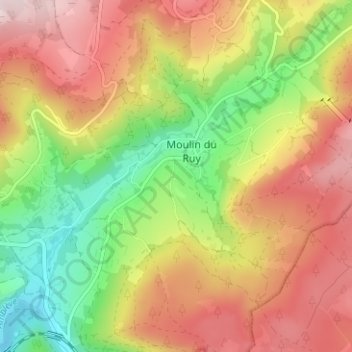
Name: Heilrimont topographic map, elevation, terrain.
Location: Heilrimont, Stoumont, Liège, Wallonie, 4987, Belgique (50.40160 5.86405 50.44160 5.90405)
Average elevation: 1,263 ft
Minimum elevation: 679 ft
Maximum elevation: 1,831 ft