
Paulo topographic map
Interactive map
Click on the map to display elevation.
About this map
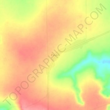
Name: Paulo topographic map, elevation, terrain.
Location: Paulo, Lunda Norte, Angola (-9.03820 20.42539 -8.99820 20.46539)
Average elevation: 3,120 ft
Minimum elevation: 2,930 ft
Maximum elevation: 3,219 ft