Geolocate

岷山 topographic map

Interactive map

Click on the map to display elevation.

About this map

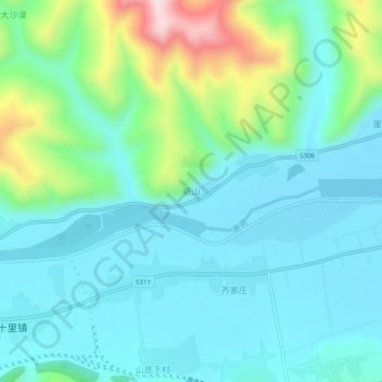
Name: 岷山 topographic map, elevation, terrain.

Location: 岷山, 岷县, 定西市, 甘肃省, 中国 (34.41724 103.95585 34.45724 103.99585)

Average elevation: 7,884 ft

Minimum elevation: 7,589 ft

Maximum elevation: 8,950 ft

Other topographic maps

Click on a map to view its topography, its elevation and its terrain.

土地眼

中国 > 甘肃省 > 岷县 > 马坞镇

土地眼, 马坞镇, 岷县, 定西市, 甘肃省, 中国

Average elevation: 7,707 ft

岷县龙望台水电集团有限责任公司

中国 > 甘肃省 > 岷县 > 的西

岷县龙望台水电集团有限责任公司, 的西, 岷县, 定西市, 甘肃省, 中国

Average elevation: 8,025 ft

闾井镇

中国 > 甘肃省 > 岷县

闾井镇, 岷县, 定西市, 甘肃省, 中国

Average elevation: 9,232 ft

岷县

中国 > 甘肃省 > 岷县

岷县, 定西市, 甘肃省, 748400, 中国

Average elevation: 8,842 ft

二郎山

中国 > 甘肃省 > 岷县 > 岷县

二郎山, 岷县, 定西市, 甘肃省, 74800, 中国

Average elevation: 7,730 ft